From sea level to 5,000 metres, the continent by the air you breathe
Every place in this atlas is plotted where it really sits: north to south along the Andes, and as high as it is. Read down the mountain or up it; the altitude decides what to pack, how to pace the days and when to go.
Stratum IV
Altiplano and passes
3,500 m and above
About two-thirds of sea-level oxygen. Cold nights, fierce sun.
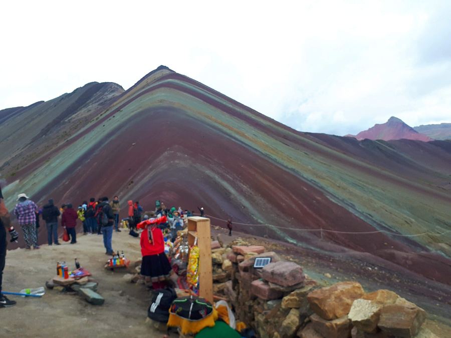
Vinicunca: stripes at the edge of the air5,036 mEl Tatio and the Atacama, dry, cold and high4,320 mTiticaca, the lake at the top of the road3,812 mThree days on the salt3,656 mLa Paz, the city that rides the air3,640 mThe Colca: terraces, condors and a long climb out3,635 m
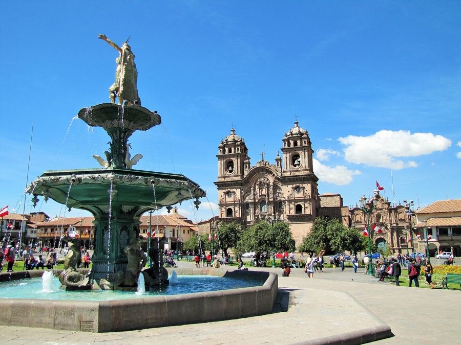
Cusco, Inca walls under colonial balconies3,400 mThe Sacred Valley, where the Inca farmed the slopes2,870 mQuito, an old town on the slopes of a volcano2,850 mSucre, the white capital of Bolivia2,810 mBogotá, La Candelaria on the cold savanna2,640 mCuenca, a city of four rivers and blue domes2,560 m
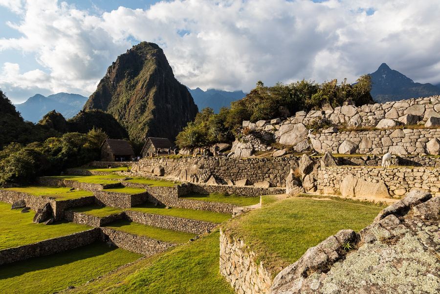
Machu Picchu, on the saddle between two peaks2,430 mArequipa, a city cut from volcanic stone2,335 mSalento and the palms that touch the cloud1,895 mMedellín, where the metro takes to the air1,495 mSalta and the gorges of red stone1,152 mMendoza, a desert made green by snowmelt750 m
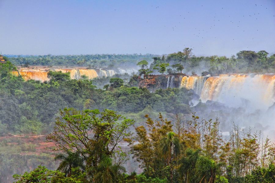
Iguazu from both sides200 mThe Amazon from Manaus92 mLima, on the edge of the cliffs80 mThe Tayrona coast50 mValparaíso's hills50 mBuenos Aires, San Telmo to La Boca25 mSalvador, the Pelourinho8 mRio, between the rock and the sea5 mCartagena inside the walls2 m